IODP
Expedition 341: Southern Alaska Margin |
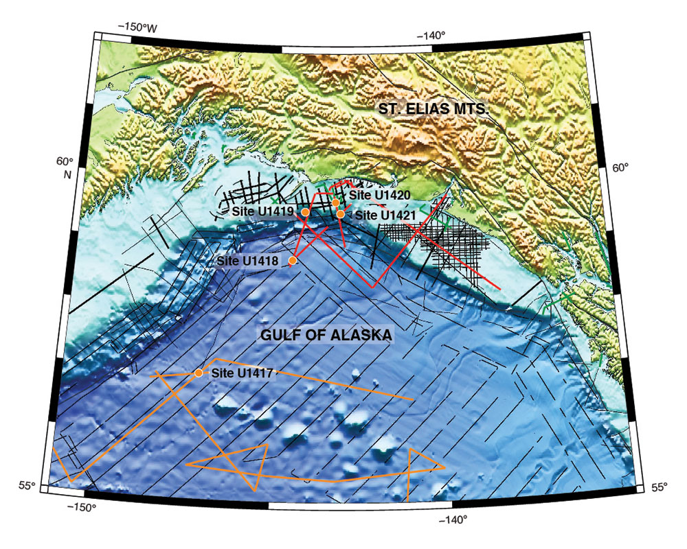
Figure
1 |
Bathymetric map of the Gulf of Alaska, showing locations of IODP Expedition 341 sites. Seismic reflection data are shown relative to the five drill sites (orange circles). Black lines = USGS or Industry acquired seismic profiles, red lines = 2008 R/V Langseth seismic profiles from the NSF ST. Elias Erosion and Tectonics Project (STEEP), orange lines = 2011 Langseth Extended Continental Shelf seismic profiles. |