
Black Rock Forest Overview
July 13-17, 1999
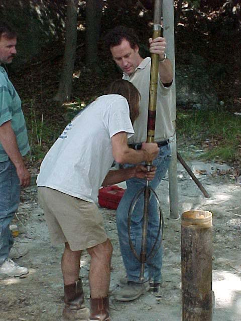
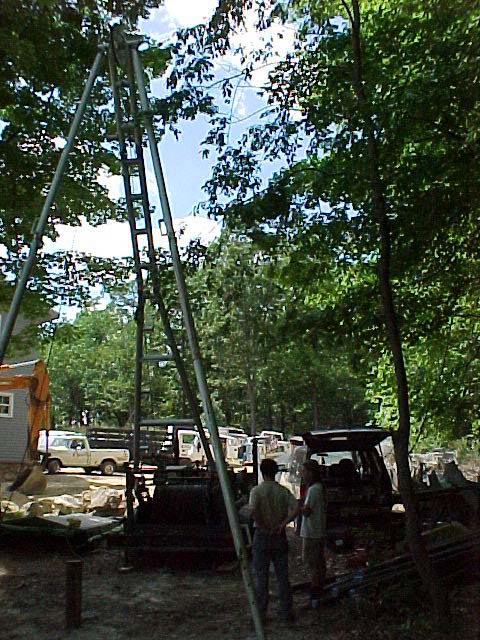
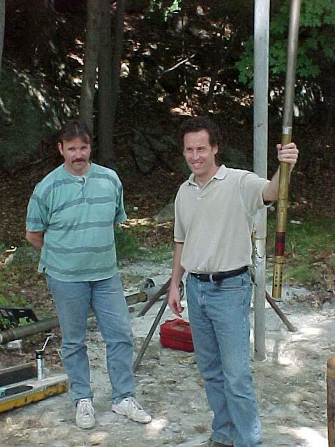
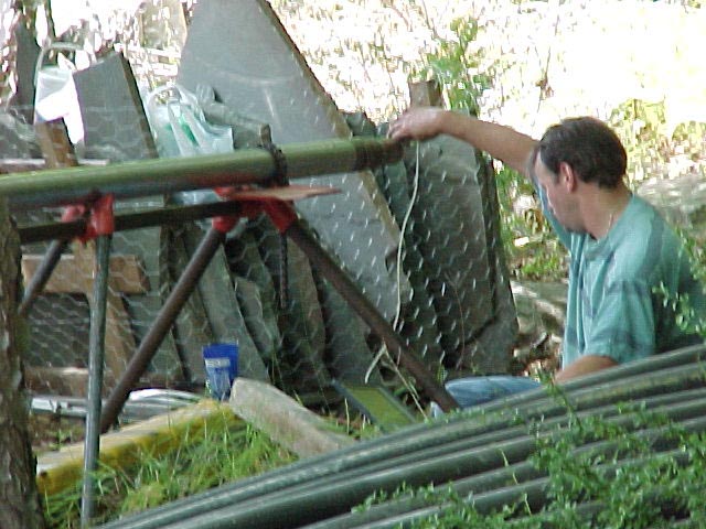
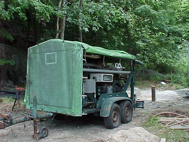
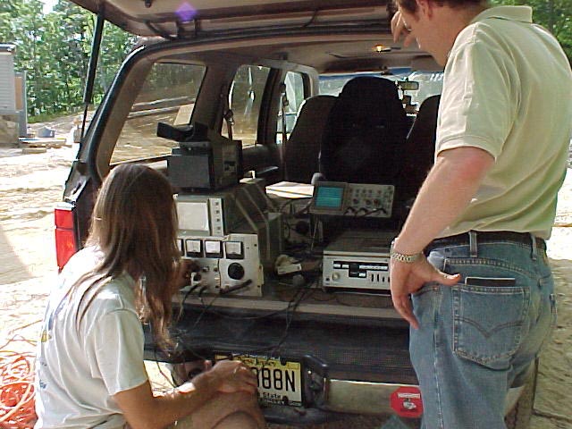
The Lamont Doherty Earth Observatory’s Borehole Research Group (BRG) logged one hole at the Black Rock Forest in Cornwall, NY. The hole was 140 meters deep with water at 53 m. The equipment was brought to the site via West Central Towing. A trailer-mounted logging winch was used to raise and lower the tools. The winch had a functioning analog totalizer for depth. In attendance were Greg Myers, Dave Goldberg, Walt Masterson, and Erich Scholz.
The tool suite consisted of:
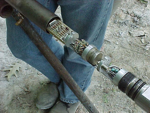
- Temperature/Acceleration/Pressure tool (TAP). The tool was designed to measure fluid temperature and pressure and store the data in memory.
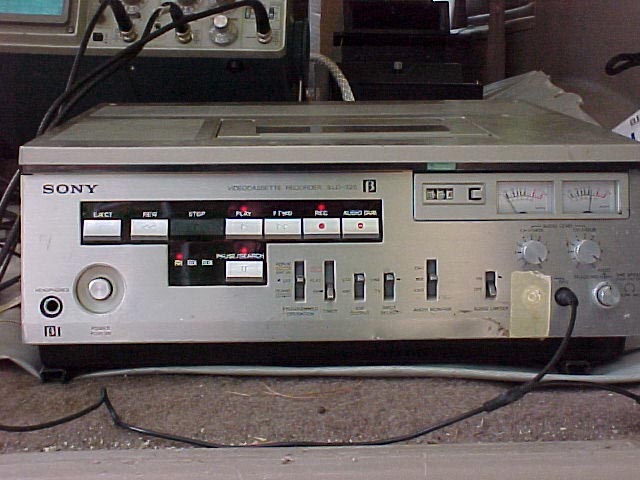
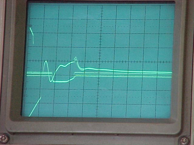
- Analog Borehole Televiewer (BHTV). This tool captures acoustic images of the borehole wall and “writes’ the images onto Polaroid film. The film is digitized post logging for data analysis.
 |
 |
 |
 |
 |
 |
 |
 |
 |
Logging Data
All data are uncorrected for hole size and environmental factors. Digital depth was not acquired at the time of logging therefore the log depth is derived from pressure data.
Gamma Ray data can be used for qualitative analysis only as the measurement has not been calibrated in a certified facility. To ensure the data were reasonable prior to tool deployment, a small calibration source was used to simulate a slightly “active” formation. The data represent the total gamma counts at each depth interval in counts per second (cps). The depth index column was added post logging. No environmental corrections were applied.
Caliper data were calibrated with 3-calibration “rings” prior to deployment. The caliper data was recorded in inches and converted to centimeters. No environmental corrections were applied to these data.
Temperature and Pressure were acquired at 1 sample per second. The units for temperature and pressure are deg C and psi, respecftively. Pressure data is relative, not absolute. No environmental corrections were applied.